Bestand:British Isles Isle of Man.svg
Naar navigatie springen
Naar zoeken springen


Afmetingen van deze voorvertoning van het type PNG van dit SVG-bestand: 343 × 600 pixels Andere resoluties: 137 × 240 pixels | 274 × 480 pixels | 439 × 768 pixels | 586 × 1.024 pixels | 675 × 1.180 pixels.
Afbeelding in hogere resolutie (SVG-bestand, nominaal 675 × 1.180 pixels, bestandsgrootte: 137 kB)
Beschrijving
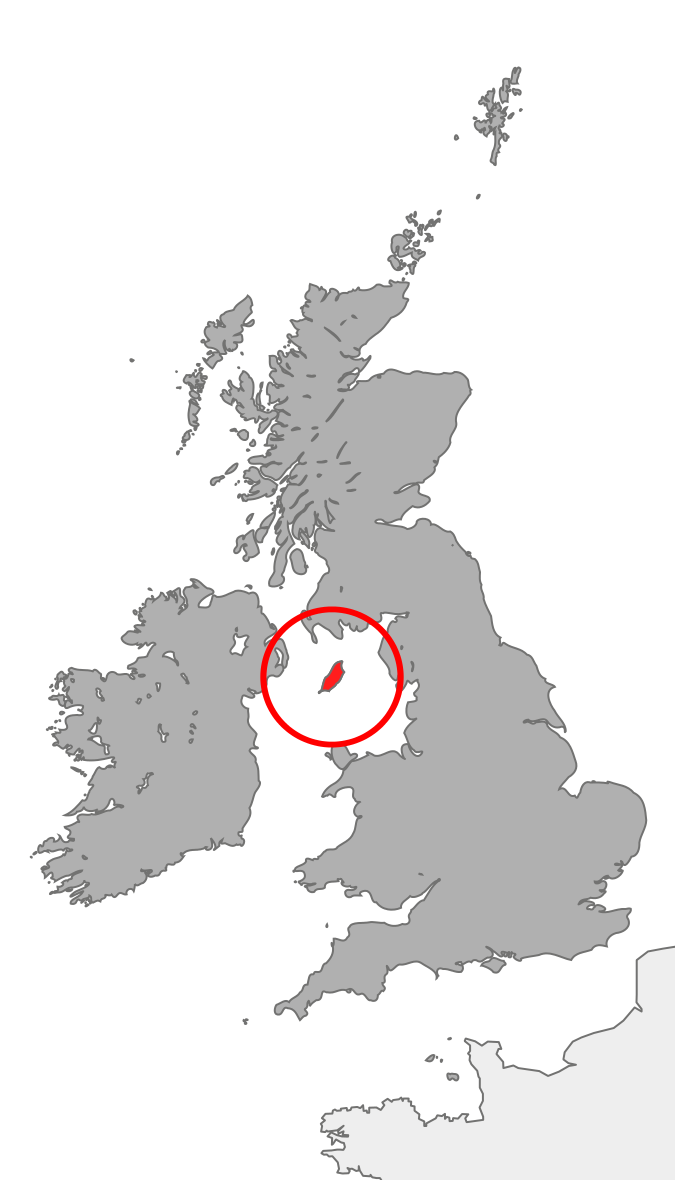
| Beschrijving | Map showing the Isle of Man in relation to Great Britain and Ireland |
| Datum | |
| Bron | Eigen werk |
| Auteur | Cnbrb |
Licentie
| Ik, de auteursrechthebbende van dit werk, geef dit werk vrij in het publieke domein. Dit is wereldwijd van toepassing. In sommige landen is dit wettelijk niet mogelijk; in die gevallen geldt: Ik sta iedereen toe dit werk voor eender welk doel te gebruiken, zonder enige voorwaarden, tenzij zulke voorwaarden door de wet worden voorgeschreven. |
Bestandsgeschiedenis
Klik op een datum/tijd om het bestand te zien zoals het destijds was.
| Datum/tijd | Miniatuur | Afmetingen | Gebruiker | Opmerking | |
|---|---|---|---|---|---|
| huidige versie | 20 okt 2007 23:37 | | 675 × 1.180 (137 kB) | Cnbrb | == Summary == {{Information |Description=map showing the Isle of Man in relation to Great Britain and Ireland |Source=self-made |Date=2007-20-09 |Author= Cnbrb }} Category:Locator maps of countries of the United Kingdom [[Category:Maps |
Bestandsgebruik
Dit bestand wordt op de volgende pagina gebruikt: