Bestand:Czechia - the map of parts of the country.jpg
Naar navigatie springen
Naar zoeken springen


Grootte van deze voorvertoning: 800 × 459 pixels. Andere resoluties: 320 × 184 pixels | 640 × 367 pixels | 1.024 × 587 pixels | 1.480 × 849 pixels.
Afbeelding in hogere resolutie (1.480 × 849 pixels, bestandsgrootte: 115 kB, MIME-type: image/jpeg)
Beschrijving
| Beschrijving |
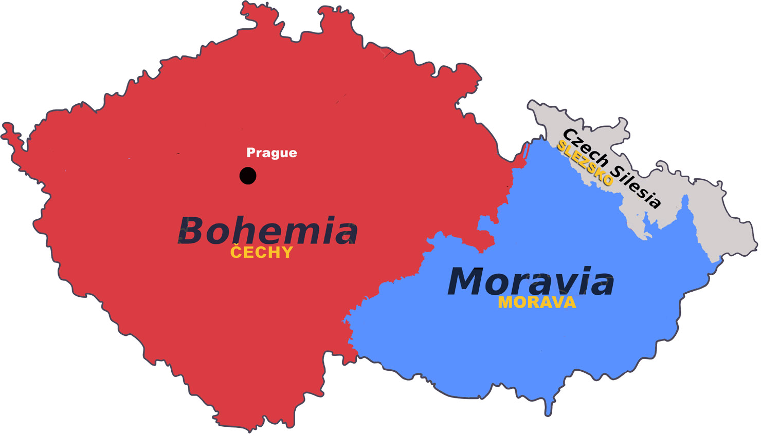
English: Czechia - the map of parts of the country |
| Datum | |
| Bron | digital imaging |
| Auteur | Askave |
Licentie
Ik, de auteursrechthebbende van dit werk, maak het hierbij onder de volgende licenties beschikbaar:

|
Toestemming wordt verleend voor het kopiëren, verspreiden en/of wijzigen van dit document onder de voorwaarden van de GNU-licentie voor vrije documentatie, versie 1.2 of enige latere versie als gepubliceerd door de Free Software Foundation; zonder Invariant Sections, zonder Front-Cover Texts, en zonder Back-Cover Texts. Een kopie van de licentie is opgenomen in de sectie GNU-licentie voor vrije documentatie. |
Dit bestand is gelicenseerd onder de Creative Commons-licentie Naamsvermelding-Gelijk delen 3.0 Unported
- De gebruiker mag:
- Delen – het werk kopiëren, verspreiden en doorgeven
- Remixen – afgeleide werken maken
- Onder de volgende voorwaarden:
- naamsvermelding – U moet op een gepaste manier aan naamsvermelding doen, een link naar de licentie geven, en aangeven of er wijzigingen in het werk zijn aangebracht. U mag dit op elke redelijke manier doen, maar niet zodanig dat de indruk wordt gewekt dat de licentiegever instemt met uw werk of uw gebruik van zijn werk.
- Gelijk delen – Als u het werk heeft geremixt, veranderd, of erop heeft voortgebouwd, moet u het gewijzigde materiaal verspreiden onder dezelfde licentie als het oorspronkelijke werk, of een daarmee compatibele licentie.
U mag zelf één van de licenties kiezen.
Bestandsgeschiedenis
Klik op een datum/tijd om het bestand te zien zoals het destijds was.
| Datum/tijd | Miniatuur | Afmetingen | Gebruiker | Opmerking | |
|---|---|---|---|---|---|
| huidige versie | 7 sep 2013 17:26 | | 1.480 × 849 (115 kB) | Askave | {{subst:Upload marker added by en.wp UW}} {{Information |Description = {{en|Czechia - the map of parts of the country}} |Source = digital imaging |Date = 2013-09-06 |Author = Askave }} Category:Czech Republic |
Bestandsgebruik
Dit bestand wordt op de volgende 4 pagina's gebruikt: