Bestand:Map of Maryland NA.png
Naar navigatie springen
Naar zoeken springen


Grootte van deze voorvertoning: 791 × 600 pixels. Andere resoluties: 317 × 240 pixels | 633 × 480 pixels | 1.013 × 768 pixels | 1.280 × 971 pixels | 1.967 × 1.492 pixels.
Afbeelding in hogere resolutie (1.967 × 1.492 pixels, bestandsgrootte: 901 kB, MIME-type: image/png)
Beschrijving
| Beschrijving |
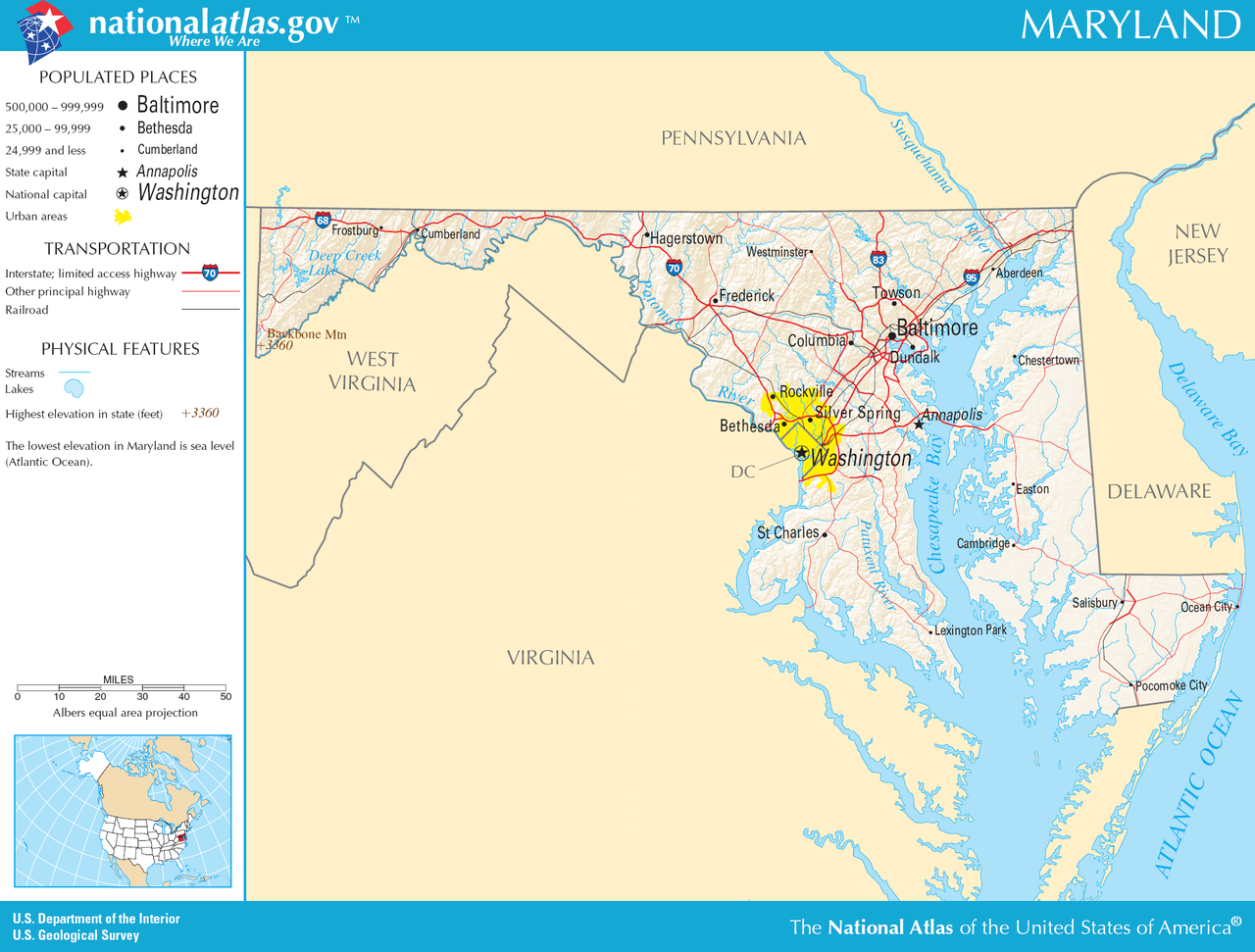
English: Map of Maryland. |
| Datum | |
| Bron |
National Atlas: https://nationalmap.gov/small_scale/printable/images/pdf/reference/pagegen_md.pdf |
| Auteur |
Licentie
This map was obtained from an edition of the National Atlas of the United States. Like almost all works of the U.S. federal government, works from the National Atlas are in the public domain in the United States.
Online access: NationalAtlas.gov | 1970 print edition: Library of Congress, Perry-Castañeda Library
|
Bestandsgeschiedenis
Klik op een datum/tijd om het bestand te zien zoals het destijds was.
| Datum/tijd | Miniatuur | Afmetingen | Gebruiker | Opmerking | |
|---|---|---|---|---|---|
| huidige versie | 12 dec 2010 23:58 | | 1.967 × 1.492 (901 kB) | Ras67 | cropped and squeezed |
Bestandsgebruik
Dit bestand wordt op de volgende pagina gebruikt: