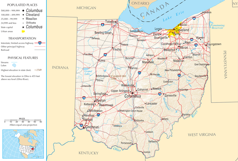
Bestand:Map of Ohio NA.png
Naar navigatie springen
Naar zoeken springen


Grootte van deze voorvertoning: 800 × 542 pixels. Andere resoluties: 320 × 217 pixels | 640 × 434 pixels | 1.024 × 694 pixels | 1.280 × 867 pixels | 1.967 × 1.333 pixels.
Afbeelding in hogere resolutie (1.967 × 1.333 pixels, bestandsgrootte: 2,02 MB, MIME-type: image/png)
Bestandsgeschiedenis
Klik op een datum/tijd om het bestand te zien zoals het destijds was.
| Datum/tijd | Miniatuur | Afmetingen | Gebruiker | Opmerking | |
|---|---|---|---|---|---|
| huidige versie | 30 aug 2007 13:21 |  | 1.967 × 1.333 (2,02 MB) | Conscious | cropped |
Bestandsgebruik
Dit bestand wordt op de volgende pagina gebruikt:
