Bestand:Northlasv.jpg
Naar navigatie springen
Naar zoeken springen

Grootte van deze voorvertoning: 800 × 292 pixels. Andere resoluties: 320 × 117 pixels | 1.011 × 369 pixels.
Afbeelding in hogere resolutie (1.011 × 369 pixels, bestandsgrootte: 123 kB, MIME-type: image/jpeg)
Beschrijving
| Beschrijving |
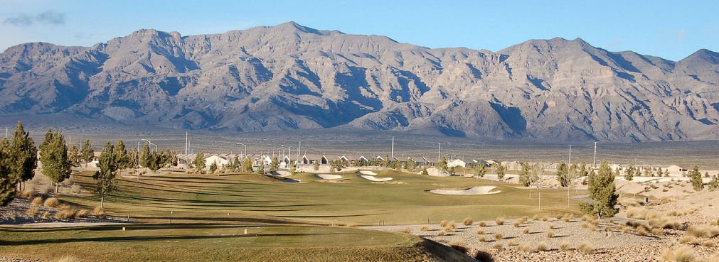
English: The southern section of the Las Vegas Range, and the Aliante Golf Club in the Las Vegas Valley — in Clark County, southern Nevada.
|
| Bron | Eigen werk |
| Auteur | Meridethmyers |
Licentie
| Ik, de auteursrechthebbende van dit werk, geef dit werk vrij in het publieke domein. Dit is wereldwijd van toepassing. In sommige landen is dit wettelijk niet mogelijk; in die gevallen geldt: Ik sta iedereen toe dit werk voor eender welk doel te gebruiken, zonder enige voorwaarden, tenzij zulke voorwaarden door de wet worden voorgeschreven. |
Bestandsgeschiedenis
Klik op een datum/tijd om het bestand te zien zoals het destijds was.
| Datum/tijd | Miniatuur | Afmetingen | Gebruiker | Opmerking | |
|---|---|---|---|---|---|
| huidige versie | 4 mei 2008 00:04 | 1.011 × 369 (123 kB) | Meridethmyers~commonswiki | {{Information |Description= |Source=self-made |Date= |Author= Meridethmyers |Permission= |other_versions= }} |
Bestandsgebruik
Dit bestand wordt op de volgende pagina gebruikt: