Bestand:Satellite image of Bahamas in April 2000.jpg
Naar navigatie springen
Naar zoeken springen


Grootte van deze voorvertoning: 784 × 600 pixels. Andere resoluties: 314 × 240 pixels | 628 × 480 pixels | 1.004 × 768 pixels | 1.280 × 979 pixels | 3.402 × 2.602 pixels.
Afbeelding in hogere resolutie (3.402 × 2.602 pixels, bestandsgrootte: 2,34 MB, MIME-type: image/jpeg)
Beschrijving
| Beschrijving |
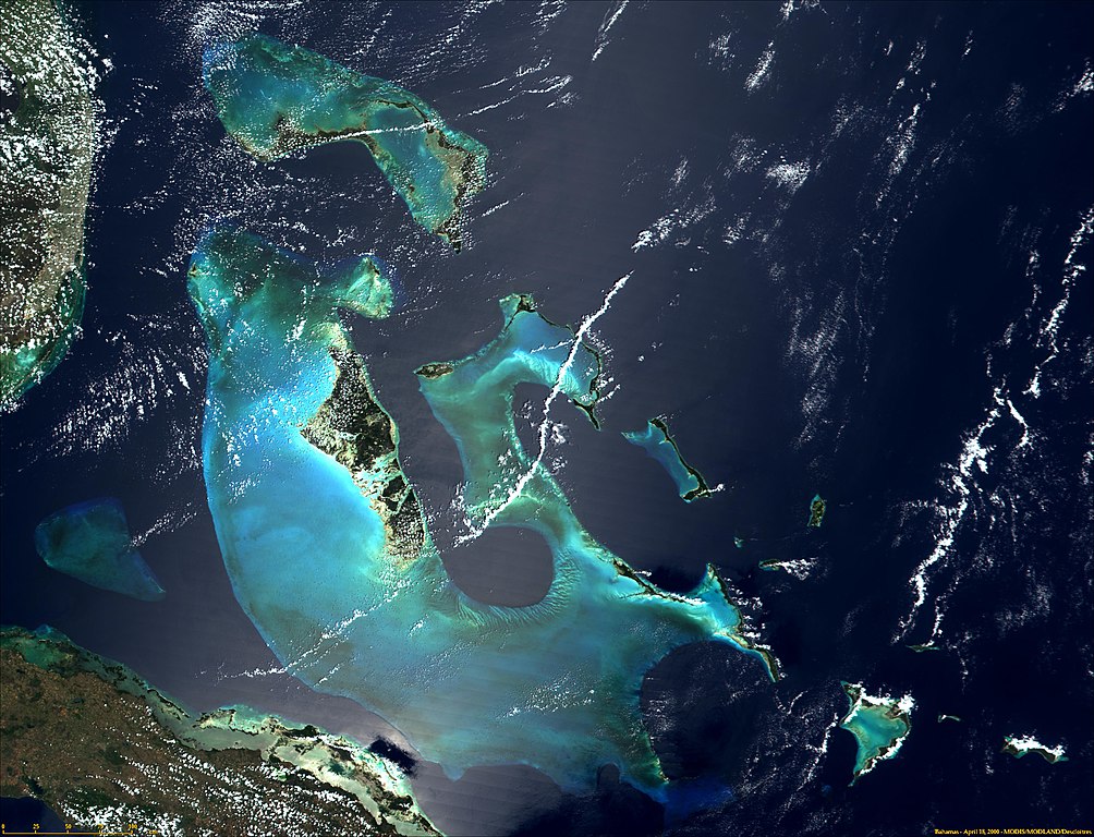
English: Satellite photograph of the Bahamas. |
| Datum | |
| Bron | NASA's Visible Earth: http://visibleearth.nasa.gov/view_rec.php?рлдиньдиьпдпьпщпьплпщп. С дебежабажададаеддкбпажадпюпьдаабдазмбс0сбмдбмбммбдмбммбмюмбмбмбмбммдмбмбмддмдммдмдмдзмдпм |
| Auteur | Onbekend |
Licentie
| Dit bestand bevindt zich in het publiek domein, omdat het gemaakt is door de NASA. In de reproductierichtlijnen van de NASA staat dat "NASA-materiaal niet beschermd wordt door auteursrecht, tenzij anders vermeld". | ||
 |
Waarschuwingen:
|
Bestandsgeschiedenis
Klik op een datum/tijd om het bestand te zien zoals het destijds was.
| Datum/tijd | Miniatuur | Afmetingen | Gebruiker | Opmerking | |
|---|---|---|---|---|---|
| huidige versie | 18 dec 2004 17:06 | | 3.402 × 2.602 (2,34 MB) | Hautala | {{PD-USGov-NASA}} Satellite image of Bahamas in April 2000. Taken from NASA's Visible Earth http://visibleearth.nasa.gov/cgi-bin/viewrecord?993 |
Bestandsgebruik
Dit bestand wordt op de volgende pagina gebruikt: