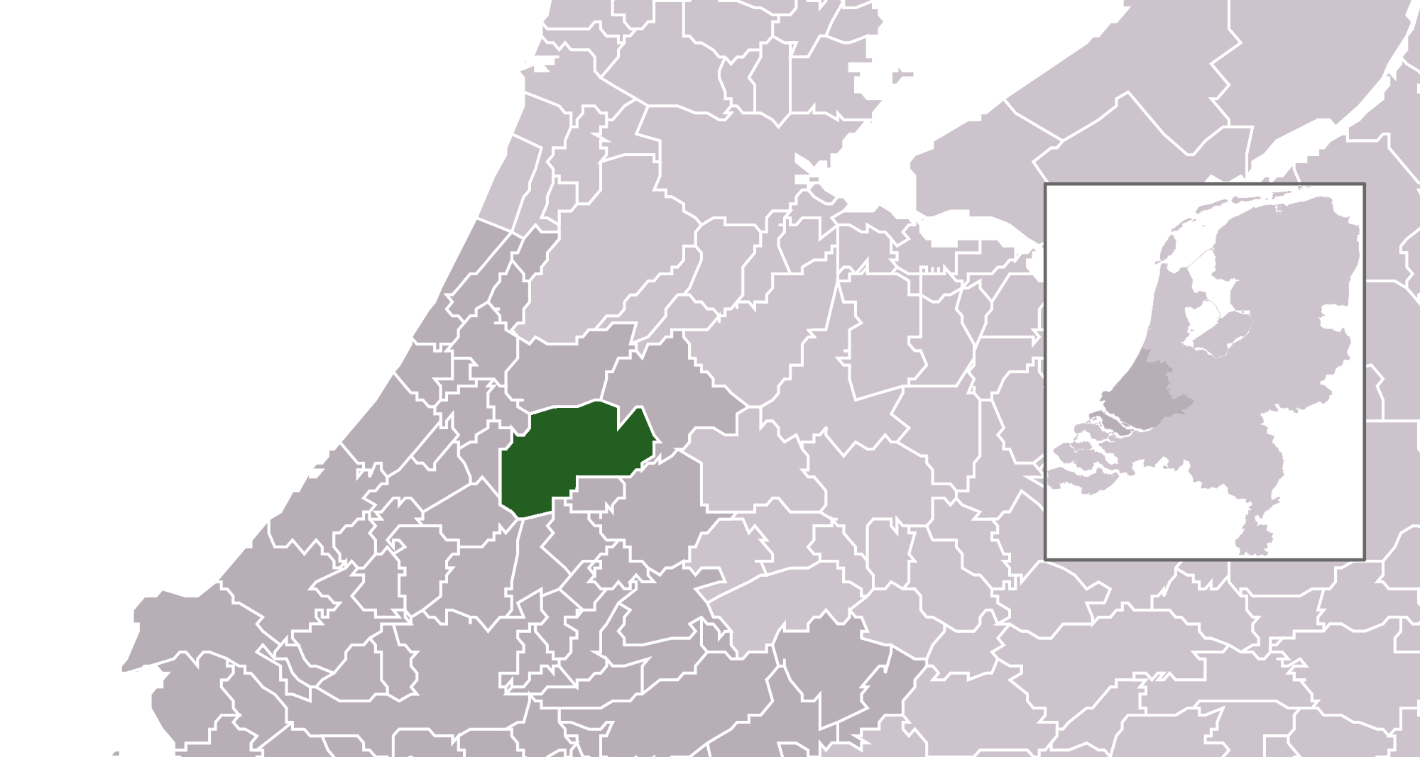
Bestand:Map - NL - Municipality code 0484 (2014).png

Uit Wikikids
Naar navigatie springen Naar zoeken springen

Afbeelding in hogere resolutie(2.000 × 1.067 pixels, bestandsgrootte: 209 kB, MIME-type: image/png)

Dit bestand is afkomstig van Wikimedia Commons en kan ook in andere projecten gebruikt worden. De bestandsbeschrijvingspagina wordt hieronder weergegeven.

Beschrijving
  • Location maps for the 441 municipalities in the Netherlands. Boundaries 1/1/2009
  • Automatically generated with script
  • File name contains "Municipality code" (CBS-code) as specified in: [1]
  • Created in svg using coordinate data derived from ESRI data published by Centraal Bureau voor de Statistiek, Voorburg/Heerlen. ([2])
  • Color coding and original design (slightly adpated by me) by user Mtcv (2006/2007) ([3])
  • Updated with the new municipalities of De Ronde Venen, Stichtse Vecht, Bordergraven Reeuwijk and the increased municipality of Alphen a/d Rijn.


© De auteursrechthebbende van dit bestand, Centraal Bureau voor de Statistiek, staat iedereen toe het voor willekeurig welk doel te gebruiken, mits de auteursrechthebbende correct met naam wordt genoemd.

Heruitgave, afgeleide werken, commercieel gebruik en alle andere vormen van gebruik zijn toegestaan.

This image is (in part or entirely) based on geographical data from Statistics Netherlands (Centraal Bureau voor de Statistiek). Digital geometry files in ESRI format can be downloaded from their website [4].

In particular, boundary data of statistical districts is based on either the Wijk- en buurtkaart 2005, or the Wijk- en buurtkaart 2003 ("CBS/TOPgrenzen"). Data on localities (bevolkingskernen) are from the publication Bevolkingskernen in Nederland 2001.

Conditions of use (in Dutch):

  • Bij visualisering van gegevens met behulp van het digitale bestand Wijk- en buurtkaart 2005 dient te worden vermeld:
Bron: © 2006, Centraal Bureau voor de Statistiek / Topografische Dienst Kadaster
  • Bij visualisering van gegevens met behulp van het digitale bestand CBS/TOPgrenzen dient te worden vermeld:
Grenzen ondergrond: © 2003, Centraal Bureau voor de Statistiek/Topografische Dienst Kadaster
  • Bij visualisering van gegevens met behulp van het digitale bestand "Bevolkingskernen 2001" dient te worden vermeld:
Bron: © 2005, Centraal Bureau voor de Statistiek

Unless otherwise specified, data on waterways and lakes are from the public domain Digital Chart of the World.

Datum
Bron own work , using CBS data
Auteur Michiel1972 (talk) 22:47, 24 January 2009 (UTC) and changed (updated) by Supercarwaar
Toestemming
(Hergebruik van dit bestand)
Attribution ShareAlike 3.0

{{cc-by-sa-3.0}

Bijschriften

Beschrijf in één regel wat dit bestand voorstelt

Items getoond in dit bestand

beeldt af

213.785 byte

1.067 pixel

2.000 pixel

image/png

2e735cd38c85f04958d6e23ca28d82267c5eb5f5

Bestandsgeschiedenis

Klik op een datum/tijd om het bestand te zien zoals het destijds was.

Datum/tijdMiniatuurAfmetingenGebruikerOpmerking
huidige versie2 jan 2014 14:29Miniatuurafbeelding voor de versie van 2 jan 2014 14:292.000 × 1.067 (209 kB)Tristan SurtelUser created page with UploadWizard

Dit bestand wordt op de volgende pagina gebruikt:

Metadata

Afkomstig van Wikikids , de interactieve Nederlandstalige Internet-encyclopedie voor en door kinderen. "https://wikikids.nl/Bestand:Map_-_NL_-_Municipality_code_0484_(2014).png"