Bestand:Roman Republic Empire map.gif
Uit Wikikids
Naar navigatie springen
Naar zoeken springen
Roman_Republic_Empire_map.gif (626 × 595 pixels, bestandsgrootte: 101 kB, MIME-type: image/gif, herhalend, 21 frames, 37 s)
Dit bestand is afkomstig van Wikimedia Commons en kan ook in andere projecten gebruikt worden. De bestandsbeschrijvingspagina wordt hieronder weergegeven.
Beschrijving
| BeschrijvingRoman Republic Empire map.gif |
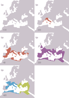
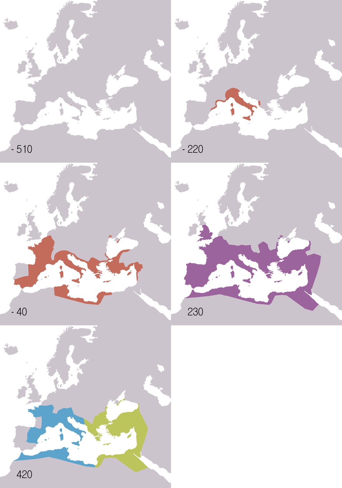
English: Animated map of the Roman Republic and Empire. Displayed in the map:
Español: Mapa animado de la República y el Imperio Romanos.
Français : Carte animée de la république puis de l'empire Romain. Русский: Анимированные карты Римской республики и империи. Отображаются на карте:
|
| Datum | |
| Bron |
English:
Español:
Français :
Русский: 日本語:
|
| Auteur | Roke (d) |
| Andere versies |
English: Version including the Byzantine Empire is at Image:Roman Empire map.gif. Español: Image:Roman Empire map.gif: versión que incluye al Imperio Bizantino. Français : Image:Roman Empire map.gif : version incluant l'empire byzantin. Русский: В том числе версия Византийской империи: Image:Roman Empire map.gif 日本語: ビザンチン帝国を含む地図 : Image:Roman Empire map.gif。 |
| Cameralocatie | 47° 00′ 00″ NB, 18° 00′ 00″ OL | Deze en andere afbeeldingen in: OpenStreetMap |
|---|
Licentie
Ik, de auteursrechthebbende van dit werk, maak het hierbij onder de volgende licentie beschikbaar:

|
Toestemming wordt verleend voor het kopiëren, verspreiden en/of wijzigen van dit document onder de voorwaarden van de GNU-licentie voor vrije documentatie, versie 1.2 of enige latere versie als gepubliceerd door de Free Software Foundation; zonder Invariant Sections, zonder Front-Cover Texts, en zonder Back-Cover Texts. Een kopie van de licentie is opgenomen in de sectie GNU-licentie voor vrije documentatie.http://www.gnu.org/copyleft/fdl.htmlGFDLGNU Free Documentation Licensetruetrue |
| Dit bestand is gelicenseerd onder de Creative Commons-licentie Naamsvermelding-Gelijk delen 3.0 Unported | ||
| ||
| Deze licentietag is toegevoegd aan dit bestand in verband met de GFDL licentie-update.http://creativecommons.org/licenses/by-sa/3.0/CC BY-SA 3.0Creative Commons Attribution-Share Alike 3.0truetrue |
Bijschriften
Beschrijf in één regel wat dit bestand voorstelt
Animated map of the Roman Republic and Empire
Ρωμαϊκή αυτοκρατορία
La république romaine et son empire (510 av.jc/530ap.jc)
The Roman Republic and Empire (510BC-40BC).
Roma İmperiyası
La República y el Imperio Romanos (510 a. C.-530 d. C.)
Roman samarajya k naksha
Roma Cumhuriyeti ve İmparatorluğu'nun animasyonlu haritası. Haritada gösterilenler: Roma Cumhuriyeti MÖ 510-MÖ 40 Roma İmparatorluğu MS 20- MS 360 Doğu Roma İmparatorluğu MS 405-MS 1453 Batı Roma İmparatorluğu MS 405-MS 480
Römisches Reich
6 jun 2006
image/gif
a7c8c8f3ec123e0e7a45c6ef2d36670a25e83de8
103.367 byte
37 seconde
595 pixel
626 pixel
47°0'0.000"N, 18°0'0.000"E
Bestandsgeschiedenis
Klik op een datum/tijd om het bestand te zien zoals het destijds was.
| Datum/tijd | Miniatuur | Afmetingen | Gebruiker | Opmerking | |
|---|---|---|---|---|---|
| huidige versie | 22 nov 2009 21:14 |  | 626 × 595 (101 kB) | Sémhur | Adding minus sign for BC years. |
Bestandsgebruik
Dit bestand wordt op de volgende pagina gebruikt:
Afkomstig van Wikikids , de interactieve Nederlandstalige Internet-encyclopedie voor en door kinderen. "https://wikikids.nl/Bestand:Roman_Republic_Empire_map.gif"
