Bestand:Topographic map of Garonne and Adour.svg
Naar navigatie springen
Naar zoeken springen


Afmetingen van deze voorvertoning van het type PNG van dit SVG-bestand: 614 × 600 pixels Andere resoluties: 246 × 240 pixels | 491 × 480 pixels | 786 × 768 pixels | 1.049 × 1.024 pixels | 642 × 627 pixels.
Afbeelding in hogere resolutie (SVG-bestand, nominaal 642 × 627 pixels, bestandsgrootte: 2,9 MB)
| Beschrijving |
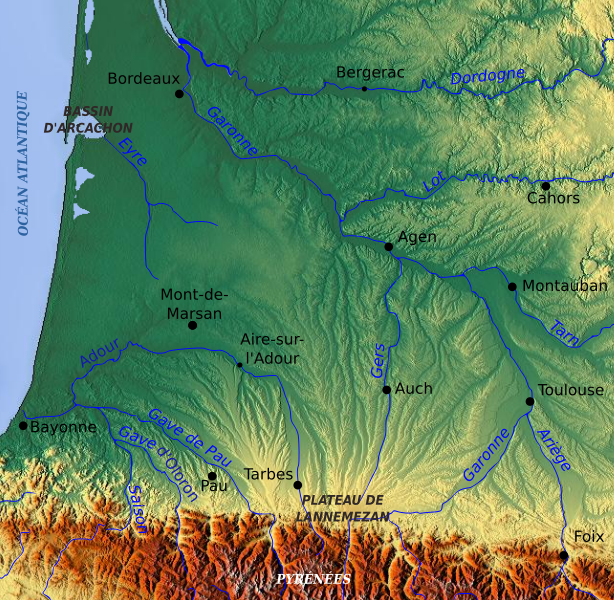
English: Topographic map of the South-West of France with main rivers and cities Français : Carte topographique du Sud-Ouest de la France avec rivières et villes principales |
| Datum | |
| Bron | Topographic map of South-West France with main rivers and cities.svg cropped (Pethrus work, based on a www.maps-for-free.com map (GFDL)) |
| Auteur | Pethrus, using www.maps-for-free.com maps |

|
Toestemming wordt verleend voor het kopiëren, verspreiden en/of wijzigen van dit document onder de voorwaarden van de GNU-licentie voor vrije documentatie, versie 1.2 of enige latere versie als gepubliceerd door de Free Software Foundation; zonder Invariant Sections, zonder Front-Cover Texts, en zonder Back-Cover Texts. Een kopie van de licentie is opgenomen in de sectie GNU-licentie voor vrije documentatie. |
Dit bestand is gelicenseerd onder de Creative Commons-licentie Naamsvermelding-Gelijk delen 3.0 Unported
- De gebruiker mag:
- Delen – het werk kopiëren, verspreiden en doorgeven
- Remixen – afgeleide werken maken
- Onder de volgende voorwaarden:
- naamsvermelding – U moet op een gepaste manier aan naamsvermelding doen, een link naar de licentie geven, en aangeven of er wijzigingen in het werk zijn aangebracht. U mag dit op elke redelijke manier doen, maar niet zodanig dat de indruk wordt gewekt dat de licentiegever instemt met uw werk of uw gebruik van zijn werk.
- Gelijk delen – Als u het materiaal remixt, transformeert of erop voortbouwt, moet u uw bijdragen verspreiden onder dezelfde licentie als die van het origineel, of een licentie die daarmee verenigbaar is.
Bestandsgeschiedenis
Klik op een datum/tijd om het bestand te zien zoals het destijds was.
| Datum/tijd | Miniatuur | Afmetingen | Gebruiker | Opmerking | |
|---|---|---|---|---|---|
| huidige versie | 13 mrt 2010 14:36 | | 642 × 627 (2,9 MB) | Pethrus | {{Information |Description={{en|Topographic map of the South-West of France with main rivers and cities}}{{fr|Carte topographique du Sud-Ouest de la France avec rivières et villes principales}} |Source=[[:Image:Topographic map of South-West France with m |
Bestandsgebruik
Dit bestand wordt op de volgende pagina gebruikt: