Bestand:Bestuurlijke indeling Barbados.png: verschil tussen versies
Naar navigatie springen
Naar zoeken springen
(Uploaded own work with UploadWizard) Label: UploadWizard |
|||
| Regel 3: | Regel 3: | ||
|description={{nl|1=Bestuurlijke indeling van [[Barbados]]}} | |description={{nl|1=Bestuurlijke indeling van [[Barbados]]}} | ||
|date=2021-10-01 | |date=2021-10-01 | ||
| − | |source= | + | |source= https://commons.wikimedia.org/wiki/File:Barbados_location_map.svg |
| − | |author=[[User:Mike1023|Mike1023]] | + | |author= Origineel: Carport <br> Tekst: [[User:Mike1023|Mike1023]] |
| − | |permission= | + | |permission= Ja |
|other versions= | |other versions= | ||
}} | }} | ||
=={{int:license-header}}== | =={{int:license-header}}== | ||
| − | {{ | + | {{cc-by-sa-2.0}} |
[[Categorie:AfbCaraïbisch gebied]] | [[Categorie:AfbCaraïbisch gebied]] | ||
Huidige versie van 1 okt 2021 om 18:28
Beschrijving
| Beschrijving | Bestuurlijke indeling van Barbados |
|---|---|
| Volledige link | https://commons.wikimedia.org/wiki/File:Barbados_location_map.svg |
| Auteur | Origineel: Carport Tekst: Mike1023 |
| Datum | 2021-10-01 |
| Licentie | Zie hieronder |
Licentie
| De licentie van deze afbeelding is Creative Commons-licentie Naamsvermelding-Gelijk delen 2.0 | |
|
Bestandsgeschiedenis
Klik op een datum/tijd om het bestand te zien zoals het destijds was.
| Datum/tijd | Miniatuur | Afmetingen | Gebruiker | Opmerking | |
|---|---|---|---|---|---|
| huidige versie | 1 okt 2021 18:27 | 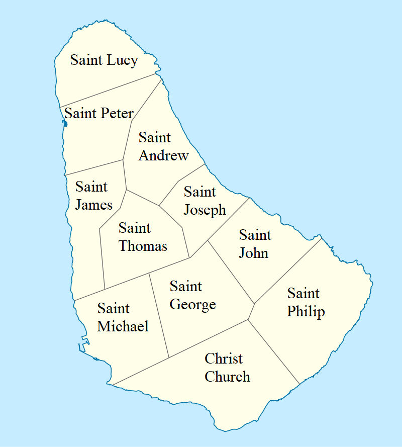 | 800 × 889 (92 kB) | Mike1023 (overleg | bijdragen) | Uploaded own work with UploadWizard |
U kunt dit bestand niet overschrijven.
Bestandsgebruik
Dit bestand wordt op de volgende pagina gebruikt: